
CoordinateGeometry
A geometry that is represented by a coordinate system (i.e., directly encodes coordinate tuples).
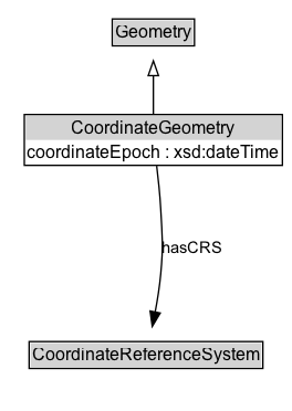
Diagram
Specializations of CoordinateGeometry
| Class | Description |
|---|---|
| Point By Coordinates | A coordinate tuple defining the geodetic position of a single point location using a known geodetic reference system |
| Point By Geo Coordinates | A point location geometry encoded as latitude/longitude and optional elements, such as elevation and metadata. |
| Point By Projected Coordinates | A point location geometry encoded as projected coordinates and optional elements, such as elevation and metadata. |
Formalization for CoordinateGeometry
| Property | Constraint |
|---|---|
| coordinateEpoch | datatype xsd:dateTime |
| hasCRS | only CoordinateReferenceSystem |
| subClassOf | Geometry |